Map Excel location data with BatchGeo
Many people and organizations use Excel documents to store location data in the form of addresses, zip codes, cities, and states. BatchGeo lets you easily create a map from your Excel (XLS) spreadsheet data.
Whether you’re mapping your company’s prospects or family’s holiday card list, you can quickly visualize the places on a map, then share it with others. Once your data is on a map, you can even explore it by clicking the markers, which will show any additional information about the place. Optionally, you can group by certain columns in your spreadsheet, so viewers can choose to display only a subset of your spreadsheet.

Create an Excel map
It’s easy to put your spreadsheet data on a map with BatchGeo. While Excel is the most common application, this same process also works with Numbers and Google Docs.
Only one column needs to contain location data. For example, you might only have zip codes or city names, or you could have a complete address. The more data you have the better.
To get started, follow these steps:
- Open your spreadsheet
- Select (Ctrl+A or Cmd+A) and copy (Ctrl+C or Cmd+C) all your data
- Open your web browser and go to batchgeo.com
- Click on the location data box with the example data in it, then paste (Ctrl+V or Cmd+V) your own data
- Check to make sure you have the proper location data columns available by clicking "Validate and Set Options"
- Select the proper location column from each drop down
- Click "Make Map" and watch as the geocoder performs its process
Once all of your rows are geocoded, click “Save & Continue” and enter some details about your map. Provide a title and, optionally, a description. To claim the map as your own, which allows you to edit it later, include your email address.
Now click “Save Map” and you’ll be directed to your map’s unique page.
Watch this short video
For more information on how to create a map using excel spreadsheet data, watch our short video.
Share your map
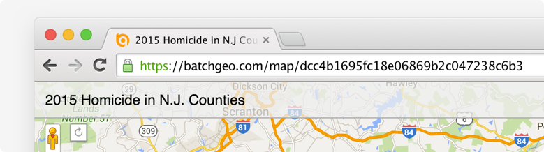
There are a handful of ways to share the map you’ve just created. For starters, you can simply copy the URL from the location bar in your web browser. Highlight and copy (Ctrl+C or Cmd+C) the address, which will start with batchgeo.com/map/. You can then paste (Ctrl+V or Cmd+V) the URL into an email, an instant message, a tweet, or anywhere else you want to share it.
You can also embed the map into a web page, such as a blog post. BatchGeo supports both full interactive map embeds, as well as a simple badge, which provides a quick preview of your map and a link to the full map. You can retrieve the code for each of these embedded maps when you edit a map or in the email you receive when you provide an email address as you save your map.
Lastly, you can view in Google Earth using the KML file version of your map. Anyone using Google Earth can load this file to see your map’s locations in the 3D browser.